Drone & AerialAugust 12, 20264 min read
Selling land in Central Florida: why the aerial is the listing.
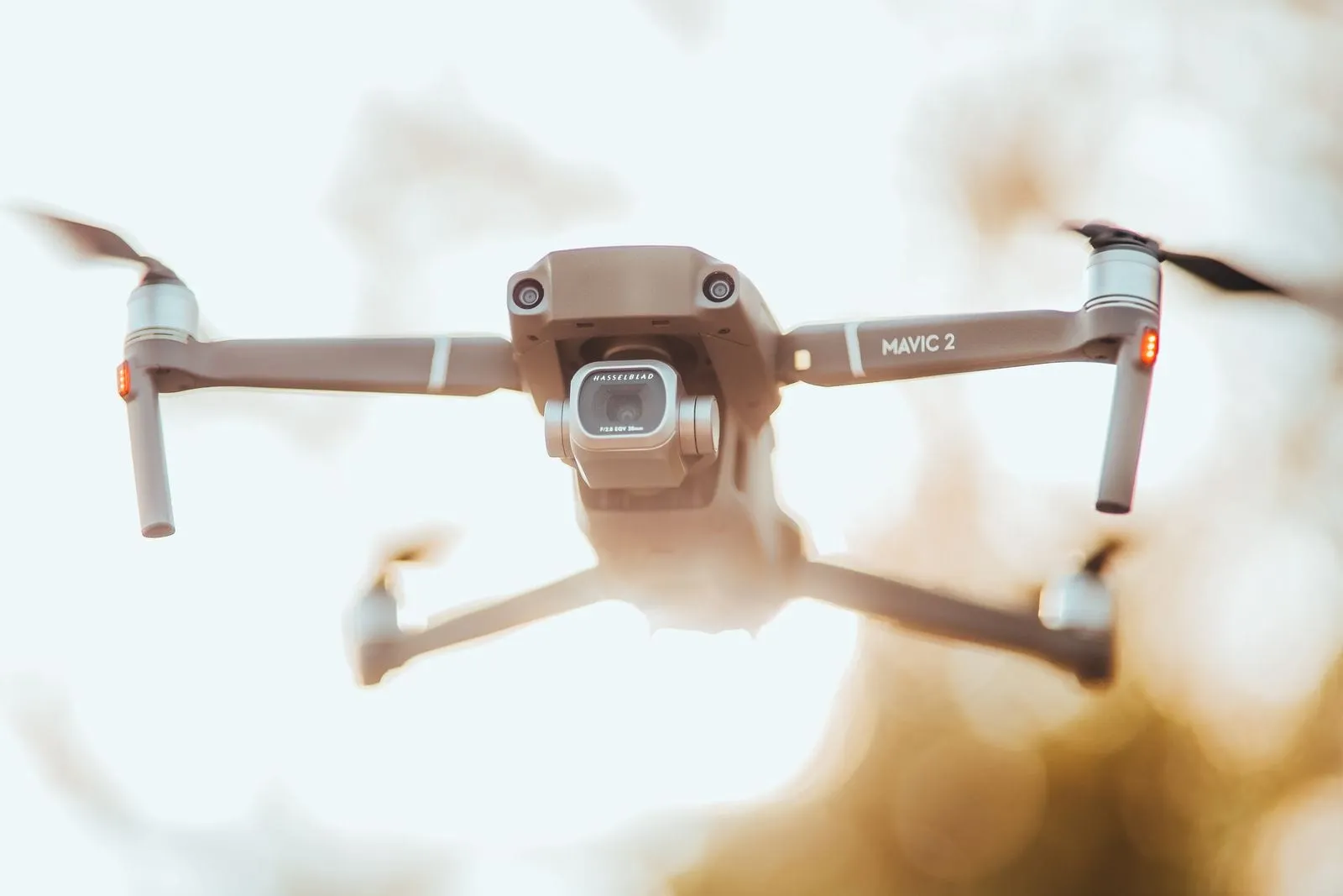
Land is the hardest listing to photograph from the ground. Stand at the road and every parcel in Sumter County looks like the one next to it: a fence line, some pines, a lot of sky. Buyers cannot judge size, shape or access from that, so they scroll past. A drone changes the whole conversation.
What an aerial shows that a ground photo cannot.
From two hundred feet up, a parcel reads at a glance. The buyer sees the road frontage, the cleared area versus the wooded area, the pond in the back corner, the neighbor's barn, and the distance to the highway. On a farm parcel near Dunnellon or Bushnell, the aerial shows the pasture layout and where a barn would sit. On a buildable lot in a subdivision, it shows which lots around it are already built and which are still open.
That is the information a land buyer is actually paying for, and it fits in one frame.
Digital lot lines turn a view into a listing.
The single most useful add-on for a land listing is the boundary overlay. We take the aerial, then draw the approximate parcel lines over it in a clean colored outline, so acreage reads instantly without a survey in hand. The same overlay works on a short aerial video for a parcel with an irregular shape, where a still cannot show every corner.
Every lot line graphic is labeled as approximate, drawn from the county parcel map and never offered as a survey. Buyers understand that, and it has never stopped the overlay from being the photo that gets the call.
When to add video.
A parcel over ten acres, or one with a long driveway, a creek or a change in elevation, benefits from a forty-five second aerial pass. The video moves from the road entrance across the whole property and back, which gives a buyer the sense of walking it. For a smaller lot, three or four aerial stills with the overlay is enough.
Timing and the Florida sky.
Land photographs best in the morning, when the light is low enough to show the texture of pasture and tree lines. Midday flattens everything into one green. Summer afternoons bring the storms, and a drone does not fly in rain or high wind, so we schedule land shoots early and move them without charge when the forecast turns. Every exterior still carries our blue skies guarantee.
The rules still apply.
Vacant land is still real estate, and the flight is still commercial. Our pilot is FAA Part 107 certified and insured, and we check the airspace before every flight, which matters near the smaller airfields and the restricted areas around parts of Marion County. Read drone rules for Florida real estate for the full picture.
Ready to list a parcel? See our drone and aerial photography, then book a real estate shoot and add lot lines at checkout.
Keep Reading
Drone & Aerial
Drone rules for Florida real estate: what agents should know.
Read the PostFor Sellers
How to get your home ready for listing photos, room by room.
Read the PostEquestrian
Sale horse photos and video: what buyers look for.
Read the PostConstruction